Client
Location
Services Provided
- Data review
- Geotechnical investigations
- Geologic mapping
- SCADA installation
- Geotechnical instrumentation
- Risk assessment
Challenges
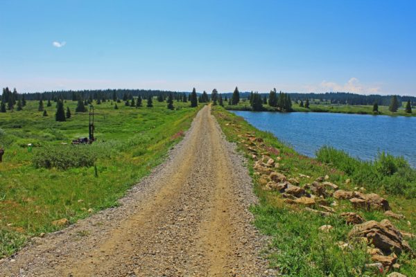
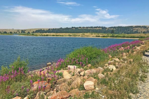
Heart Lake is a 3,100-acre-foot reservoir formed by a main dam (high-hazard) and saddle dike (low-hazard), both of which are homogenous earthen embankments with corrugated galvanized-iron diaphragm seepage barriers. The site is located on U.S. Forest Service (USFS) property at an elevation of 10,700 feet and is accessible only during the summer months by a USFS road. Potential dam safety issues had been identified during routine inspections and included internal erosion at the contact between the embankment and foundation, and the lack of ability to monitor the dam.
Solution
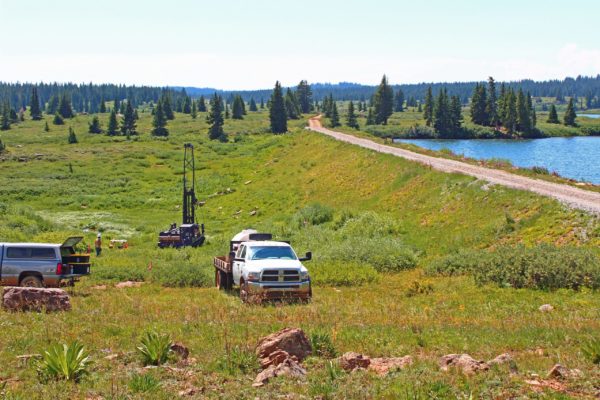
RJH was retained by Colorado Parks and Wildlife (CPW) to perform geotechnical investigations and evaluate the existing geotechnical condition of the dam. RJH implemented a geotechnical investigation and instrumentation program that included geologic mapping, drilling five borings in the dam, and installing piezometers and survey monuments. As part of the program, RJH also performed a topographic survey and set up remote observations of instrumentation using a supervisory control and data acquisition (SCADA) system. The SCADA system allows CPW to monitor the reservoir level, piezometer levels, and seepage discharge rates from flow measurement devices.
RJH performed geotechnical analyses to evaluate the condition of the dam and dike. Based on the data collected and analyses performed, RJH performed a risk assessment that included the Colorado Office of the State Engineer, the owner, subject matter experts, and a qualified facilitator. RJH concluded that the risk for backwards erosion piping through the foundation and at the foundation-embankment contact were too high and needed to be addressed. The high seepage pressures in the foundation and embankment also require that the downstream slope be stabilized.


