Client
Location
Services Provided
- Geotechnical investigations
- Hydrology Report
- Risk analyses
- Alternatives evaluation
- Spillway design
- Embankment modifications
- Construction documents
- Resident engineering
- Construction administration services
Challenges
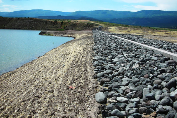
The Jerry Creek Reservoirs site consists of two reservoirs, Jerry Creek Reservoir No. 2 and Reservoir No. 1, which are located in Mesa County, Colorado. Reservoir No. 2 is the larger of the two reservoirs and consists of a 135-foot-high earth embankment dam and several smaller saddle dams. Reservoir No. 1 includes a 57-foot-high earth embankment dam.
Ute Water Conservancy District (District) owns and operations the reservoirs. The District desired to increase the storage in Reservoir No. 2 by about 1,300 acre-feet by raising the normal operating pool by 7 feet but without raising the dam crests. The District determined that this would overwhelm the capacity of the existing service spillways during the inflow design flood (IDF) and that new auxiliary spillways at each reservoir were required.
Solution
The design concept developed by RJH included conveying a majority of the IDF through the new Reservoir No. 2 auxiliary spillway directly into Reservoir No. 1. The multi-reservoir routing approach would safely pass the IDF through both reservoirs into the lower drainage basin using the new spillways without creating dam safety concerns. RJH used results from a site-specific probable maximum precipitation study developed by others to revise flood-routing models and update the IDF. The results generated a smaller IDF, ultimately reducing spillway capacity needs and construction costs to the District.
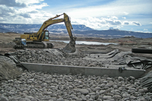
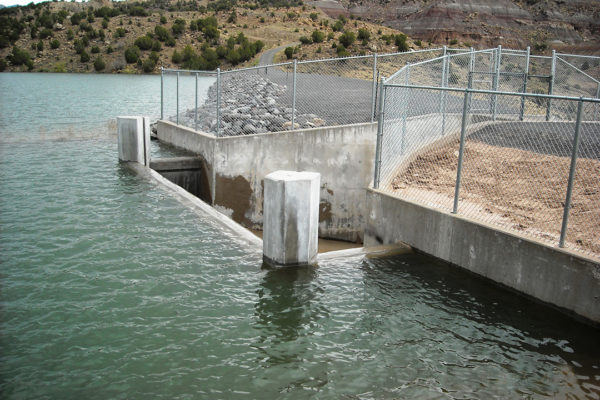
The new auxiliary spillway at Reservoir No. 2 consisted of a 685-foot-wide excavated main channel and concrete control weir with a 40-foot-wide, riprap-lined low-flow channel. The low-flow channel included five grouted-riprap drop structures. The Reservoir No. 1 auxiliary spillway consisted of a 235-foot-wide excavated channel with concrete control weir.


